Barangay Dangula
 A long time ago during the Spanish occupation, there was a place where a huge tree stood firmly amid the community. This tree was being taken care of by the people and was named Dangula.
One day, a group of Spanish soldiers came to visit the place and asked some residents what was the name of the place, the people answered “Dangula”, thinking that Spaniards asked about the name of the tree. From then on, the Spaniards named the place as Dangula.
Dangula is a rural barangay, and one of the lowland barangays in the municipality of Dumarao, province of Capiz. It has a total land area of 2.1733 square kilometers. Its population as determined by the 2020 Census was 1,094. This represented 2.21% of the total population of Dumarao.
The barangay has an agricultural area of 198.21 hectares, 91.20% of its total land area. Agricultural produce are palay, coffee, banana and coconut. Part of their agricultural diversification activities are livestock and backyard native chicken farming.

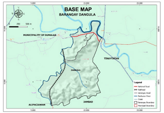
Geo- physical Hazards
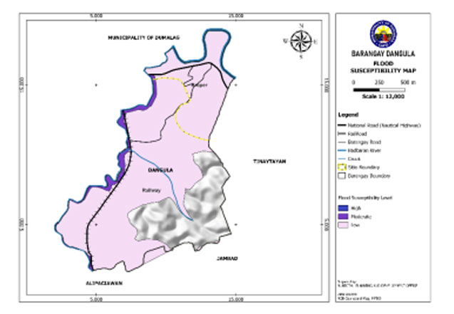
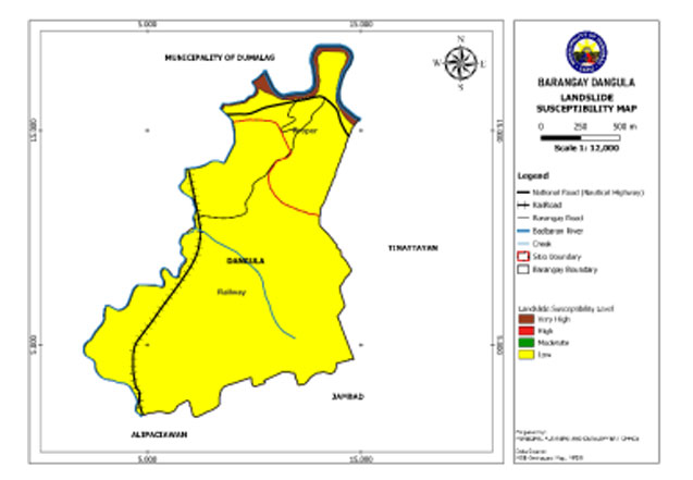
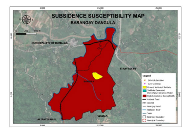
Dangula is exposed to 3 types of hazards: rain-induced flooding with 2 susceptibility levels: moderate and low, rain-induced landslides with 2 susceptibility levels: very high and low, and KARST Subsidence.
Susceptible to moderate-level flooding is 6.653 hectares or 3.06% of the total barangay land area and low-level flooding is 159.773 hectares or 73.52%.
An area of 5.06 hectares or 2% of the total land area has a very high susceptibility level for rain-induced landslide. Low susceptible have an area of 212.27 hectares or 98%.
The entire barangay area is susceptible to high subsidence.
Demographics
Household
The household population of Dangula in the 2020 Census was 1,094 broken down into 296 households or an average of 3.70 members per household.
Population by age group
According to the 2020 Census, the age group with the highest population in Dangula is 10 to 14, with 118 individuals. On the other hand, the age group with the lowest population is 75 to 79, with 17 individuals.
Combining age groups, those aged 14 and below, consisting of the young dependent population which includes infants/babies, children, and young adolescents/teenagers, make up an aggregate of 25.87% (283). Those aged 15 up to 64, roughly, the economically active population and actual or potential members of the workforce, constitute a total of 64.44% (705). Finally, the old dependent population consisting of the senior citizens, those aged 65 and over, total 9.69% (106) in all.
Historical population
The population of Dangula grew from 869 in 1990 to 1,094 in 2020, an increase of 225 people over the course of 30 years. The latest census figures in 2020 denote a negative growth rate of 1.17%, or a decrease of 63 people, from the previous population of 1,157 in 2015.
Adjacent barangays
Dangula shares a common border with the following barangay(s):
- Santo Angel, Dumalag, Capiz
- Bito-on Ilawod, Cuartero, Capiz
- Santo Niño, Dumalag, Capiz
- Tinaytayan, Dumarao, Capiz
- San Miguel, Dumalag, Capiz
- Alipasiawan, Dumarao, Capiz
- Jambad, Dumarao, Capiz

