Barangay Codingle
 The legendary tales of the old folks relates that the name Codingle was taken from “Kuding & Uli”. A woman cooking for her cat pet calling “kuding-uli”. Spanish soldiers came to pass on that area and happened to hear the calling of that old woman, “Aha! says the Spaniards, “Kuding- uli”. Generation had last, due to different transcriptions of language “kuding-uli” becomes the present and common knowledge, CODINGLE.
Historical Places/ Event
• CAPSU Site– a place where a siren was ringed for the local folks to prepare to evacuate because the Japanese forces were coming. The place also reminds the local folks of the Japanese cruelties.
•AMBUSH SITE OF MAJOR ACANTO– Situated at the Barangay Codingle National Road adjacent to the Provincial Road (going to Sitio Terum). Major Acanto was ambushed by the group of NPA’s in the May 1992, together with the rural soldiers and civilians. He was the commanding officer of Army Brigade assigned at Dumarao, Capiz.
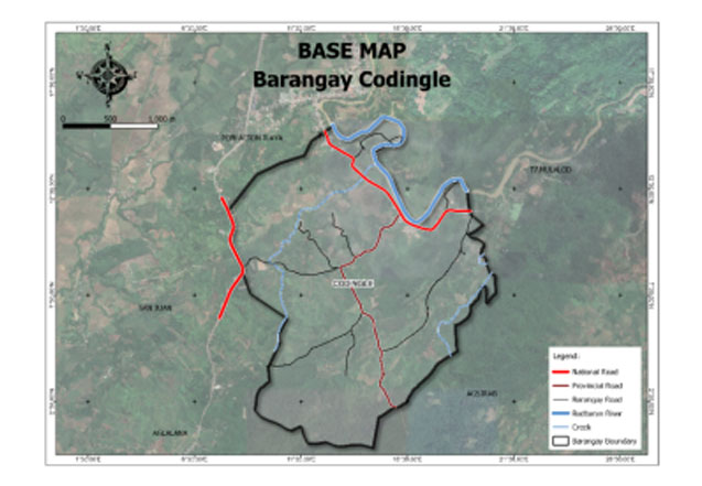
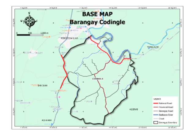
Barangay Codingle is one of the lowland barangay in the municipality of Dumarao, in the province of Capiz. It is traversed by a national road going to eastern part of the municipality. It has a total land area of 4,272.4 square kilometers.
The barangay has an agricultural area of 1,356.00 hectares, 83.60% of its total land area. Agricultural produce are palay, sugarcane, and coconut and banana. Part of their agricultural diversification activities are livestock and backyard native chicken farming.
Geo- physical Hazards
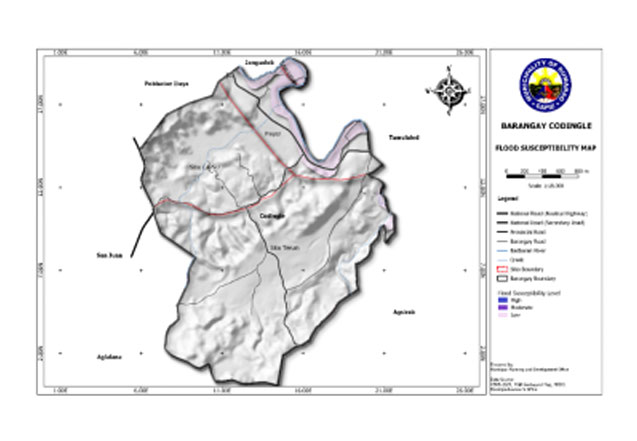
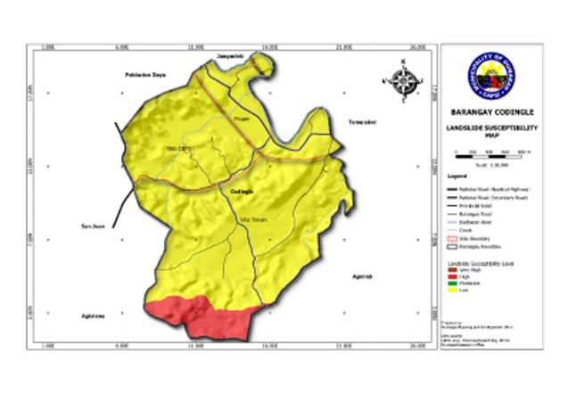
Codingle is exposed to 3 types of hazards: rain-induced flooding with low susceptibility levels, rain-induced landslides with 2 susceptibility levels: high, and low, and KARST Subsidence.
Susceptible to low-level flooding is 38.311 hectares or 8.97% of the total barangay land area.
An area of 45.94 hectares or 11% of the total land area has a high susceptibility level for rain-induced landslide. Low susceptibility have an area of 381.29 hectares or 89.25%.
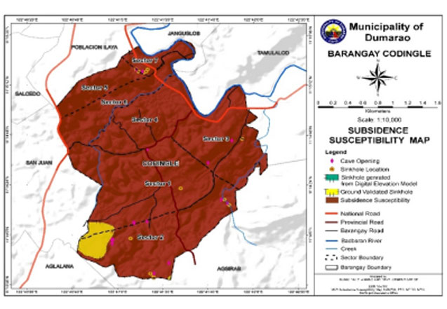
The whole total land area of the barangay is susceptible to high subsidence.
Demographics
Household
The household population of Codingle in the 2020 Census was 1,725 broken down into 460 households or an average of 3.75 members per household.
Population by age group
According to the 2020 Census, the age group with the highest population in Codingle is 0-4, with 10.43% or 180 individuals. On the other hand, the age group with the lowest population is 80 and over, with 1.62% or a total of 28 individuals.
Combining age groups, those aged 14 and below, consisting of the young dependent population which includes infants/babies, children, and young adolescents/teenagers, make up an aggregate of 29.33% (506). Those aged 15 up to 64, roughly, the economically active population and actual or potential members of the workforce, constitute a total of 63.36% (1,093). Finally, the old dependent population consisting of the senior citizens, those aged 65 and over, total 7.30% (126) in all.
Historical population
The population of Codingle grew from 1,161 in 1990 to 1,725 in 2020, an increase of 564 people over the course of 30 years. The latest census figures in 2020 denote a positive growth rate of 2.10%, or an increase of 162 people, from the previous population of 1,563 in 2015.
Adjacent barangays
Codingle shares a common border with the following barangay(s):
- Tamulalod, Dumarao, Capiz
- Poblacion Ilaya, Dumarao, Capiz
- San Juan, Dumarao, Capiz
- Salcedo, Dumarao, Capiz
- Janguslob, Dumarao, Capiz
- Agsirab, Dumarao, Capiz

