Barangay San Juan
 Long time ago, before the World War, Barangay San Juan was called “Barangay Tagabang” during the leadership of Teniente Simplicio Fergamino, ‘’Tagabang”, from the name of the creek which serves as the boundary of the place from its adjoining barangay. After the war, Juan Basco was chosen by the people to lead the barangay. He served as Teniente del Barrio for the period of 10 years. In recognition of his good leadership and reputation, the resident decides to name the Barangay after him, hence, the place once called ‘’Tagabang’’ was later referred to as Barangay San Juan. Tagabang is a native kind of vegetable which most people used as viand. As the story was told, there is a place which they used to pilgrimage. There was a big statue of San Juan Bautista (St. John the Baptist). Most of the name of the males in barangay tagabang was derived from the name of this Saint. Years passed and Juan Basco was chosen Teniente del Bario, he serves for 10 years therefore due to his good works and sincerely service to his barrio and constituent, the barangay Tagabang was later on called Barangay San Juan in honor to San Juan (St John) and former Teniente del Barrio Juan Basco.
San Juan is a rural barangay, and one of the lowland barangays in the municipality of Dumarao, province of Capiz. It has a total land area 3.8554of square kilometers.
The barangay has an agricultural area of 353.94 hectares, 91.80% of its total land area. Agricultural produce are palay, corn, sugarcane and coconut. Part of their agricultural diversification activities are livestock and backyard native chicken farming.
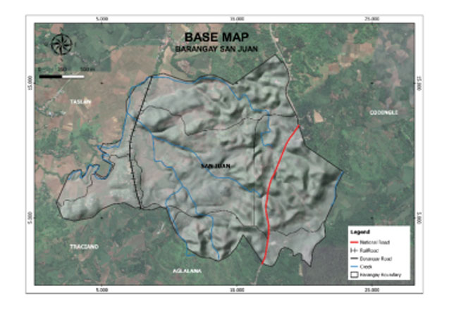
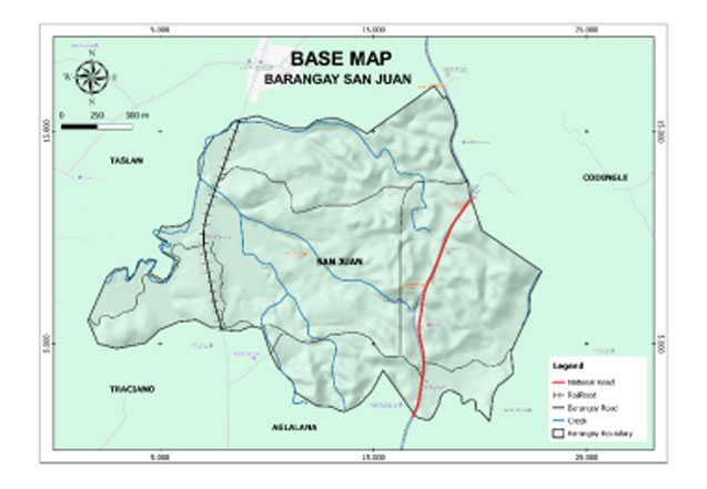
Geo- physical Hazards
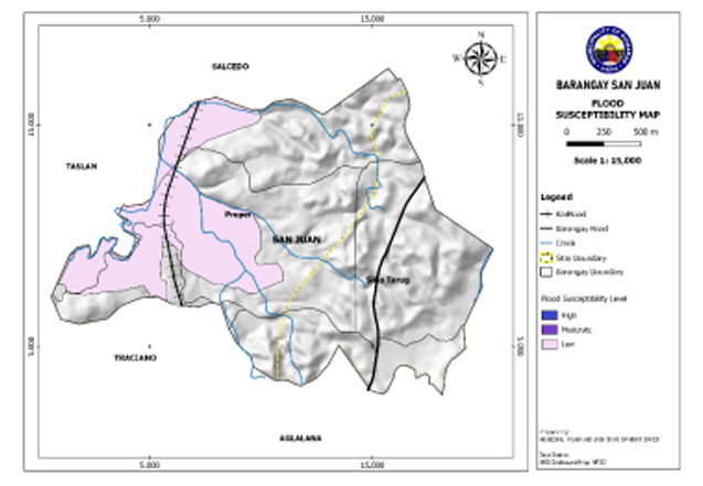
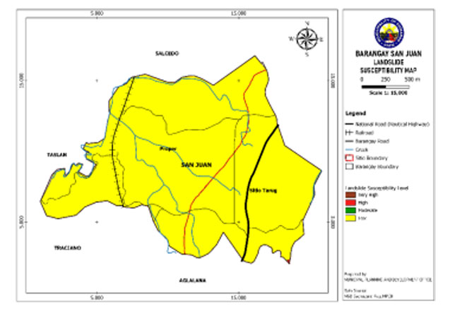
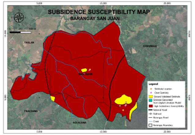
San Juan is exposed to 3 types of hazards: rain-induced flooding with low susceptibility levels, rain-induced landslides with 3 susceptibility levels: high, moderate, and low, and KARST Subsidence.
Susceptible to low-level flooding is 82.512 hectares or 21% of the total barangay land area.
An area of 0.092 hectares or 1% of the total land area has a high susceptibility level for rain-induced landslide, while 385.45 hectares or 99% have low-level susceptibility.
A portion of the barangay is susceptible to subsidence having an area of 380.78 hectares or 99%of the total barangay land area.
Demographics
Household
In the 2020 Census, the household population of San Juan was 1,081 broken down into 272 households or an average of 3.97 members per household.
Population by age group
Based on the 2020 Census, the age group with the highest population in in San Juan is 5 to 9, with 122 individuals. Furthermore, the age groups with the lowest population are in the ranges 75 to 79, with 8 individuals.
Combining age groups together, those aged 14 and below, consisting of the young dependent population which include infants/babies, children and young adolescents/teenagers, make up an aggregate of 32.47% (351). Those aged 15 up to 64, roughly, the economically active population and actual or potential members of the work force, constitute a total of 60.78% (657). Finally, old dependent population consisting of the senior citizens, those aged 65 and over, total 6.75% (73) in all.
Historical population
The population of San Juan grew from 827 in 1990 to 1,081 in 2020, an increase of 254 people over the course of 30 years. The latest census figures in 2020 denote a positive growth rate of 0.35%, or an increase of 18 people, from the previous population of 1,063 in 2015.
Adjacent barangays
San Juan shares a common border with the following barangay(s):
- Codingle, Dumarao, Capiz
- Aglalana, Dumarao, Capiz
- Traciano, Dumarao, Capiz
- Taslan, Dumarao, Capiz
- Salcedo, Dumarao, Capiz
- Agsirab, Dumarao, Capiz

