Barangay Taslan
 One day, during the Spanish time, may isa ka Spanish soldier nga nagsaka sa isa ka balay sang tumandok sa sine nga lugar, nangayo siya sang tubig para imnon, samtang ara siya sa balay nagapangilag-kilag kag namangkot sa tagbalay in a Spanish language nga kon ano ang ngalan sang sine nga lugar nga nagapananga-tanga, wala sang may naintindihan ang tagbalay sa amo nga pamangkot, iya ginhangop-hangop nga basi ang ginapamangkot sang Spanish soldier kon ano ang sa ibabaw nga sa diin nahamtang ang madamo nga Tas-an. Ang Tas-an isa ka kawayan ukon butong, ini lima (5) ka buko asta walo (8) kag ini ginasudlan sang palay kay indi pa uso ang sako. Gani ang sabat sang tagbalay sa Spanish soldier nga tas-an, gani ang paghangop man sang Spanish soldier nasabat sang tumandok ang iya pamangkot nga ang ngalan sang lugar ay Tas-an nga subong nangin TASLAN.
Taslan derived its name from the word TAS-AN, a shelf, made of 5-8 feet of bamboo and placed on the ceiling of the house and served as a container of palay/rice during the Spanish occupation.
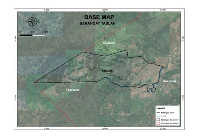
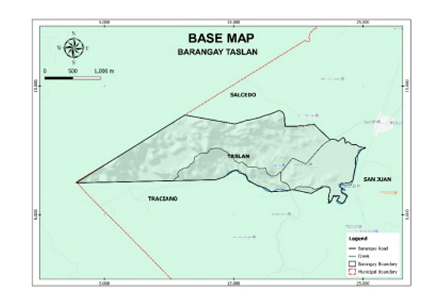
Taslan is a rural barangay, and one of the lowland barangays in the municipality of Dumarao, province of Capiz. Its population as determined by the 2020 Census was 949. This represented 1.92% of the total population of Dumarao.
The barangay has an agricultural area of 135.17 hectares, 30.80% of its total land area. Agricultural produce are palay, corn, coffee, and banana. Part of their agricultural diversification activities are livestock and backyard native chicken farming.
Geo- physical Hazards
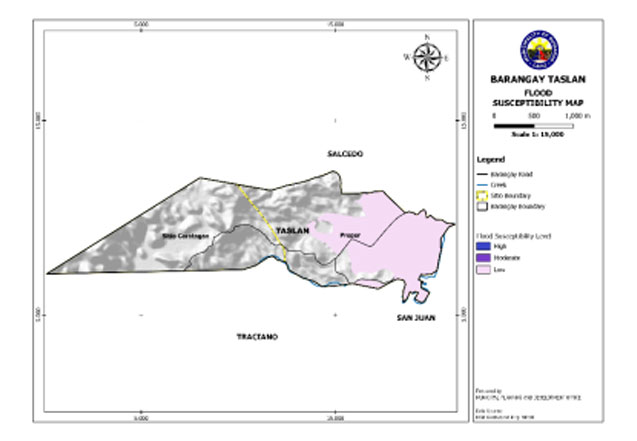
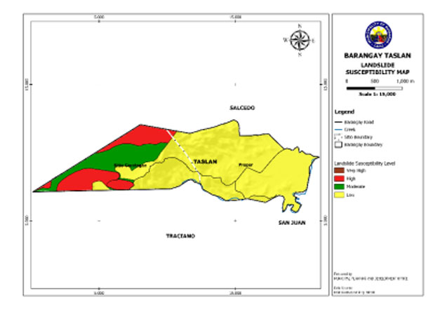
Taslan is exposed to 3 types of hazards: rain-induced flooding with low susceptibility levels, rain-induced landslides with 3 susceptibility levels: high, moderate, and low, and KARST Subsidence.
Susceptible to low-level flooding is 121.486 hectares or 27.68% of the total barangay land area.
An area of 65.50 hectares or 14.92% of the total barangay land area has a high susceptibility level for rain-induced landslide. Moderately susceptible have an area of 60.80 hectares or 13.85%, while 312.62 hectares or 71.22% have low-level susceptibility.
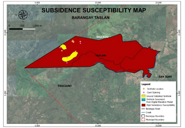
The entire barangay area is susceptible to high subsidence.
A portion of the barangay is susceptible to high subsidence having an area of 993.84 hectares or 64.14% of the total barangay land area.
Demographics
Household
The household population of Taslan in the 2020 Census was 949 broken down into 234 households or an average of 4.06 members per household.
Population by age group
According to the 2020 Census, the age group with the highest population in Taslan is 0 to 4, with 94 individuals. Furthermore, the age groups with the lowest population are 75 to 79 and 80 and over, both with 9 individuals.
Combining age groups, those aged 14 and below, consisting of the young dependent population which includes infants/babies, children, and young adolescents/teenagers, make up an aggregate of 28.45% (270). Those aged 15 up to 64, the economically active population and actual or potential workforce members, constitute a total of 65.12% (618). Finally, the old dependent population consists of senior citizens, those aged 65 and over, a total of 6.43% (61).
Historical population
The population of Taslan grew from 626 in 1990 to 949 in 2020, an increase of 323 people over the course of 30 years. The latest census figures in 2020 denote a positive growth rate of 1.90%, or an increase of 81 people, from the previous population of 868 in 2015.
Adjacent barangays
Taslan shares a common border with the following barangay(s):
- Traciano, Dumarao, Capiz
- San Juan, Dumarao, Capiz
- Salcedo, Dumarao, Capiz
- Nueva Union, Passi, Iloilo

